What we fly for.
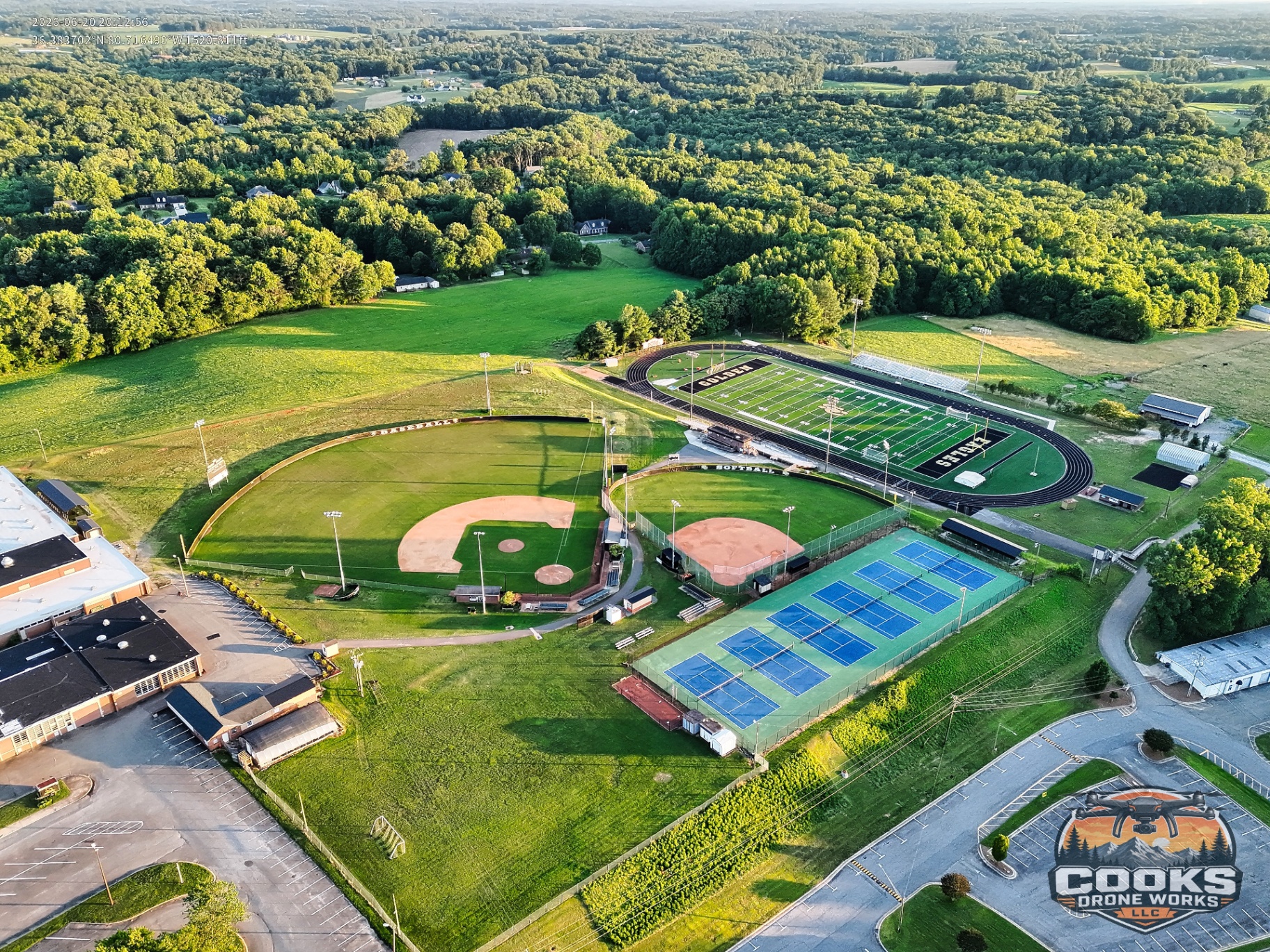
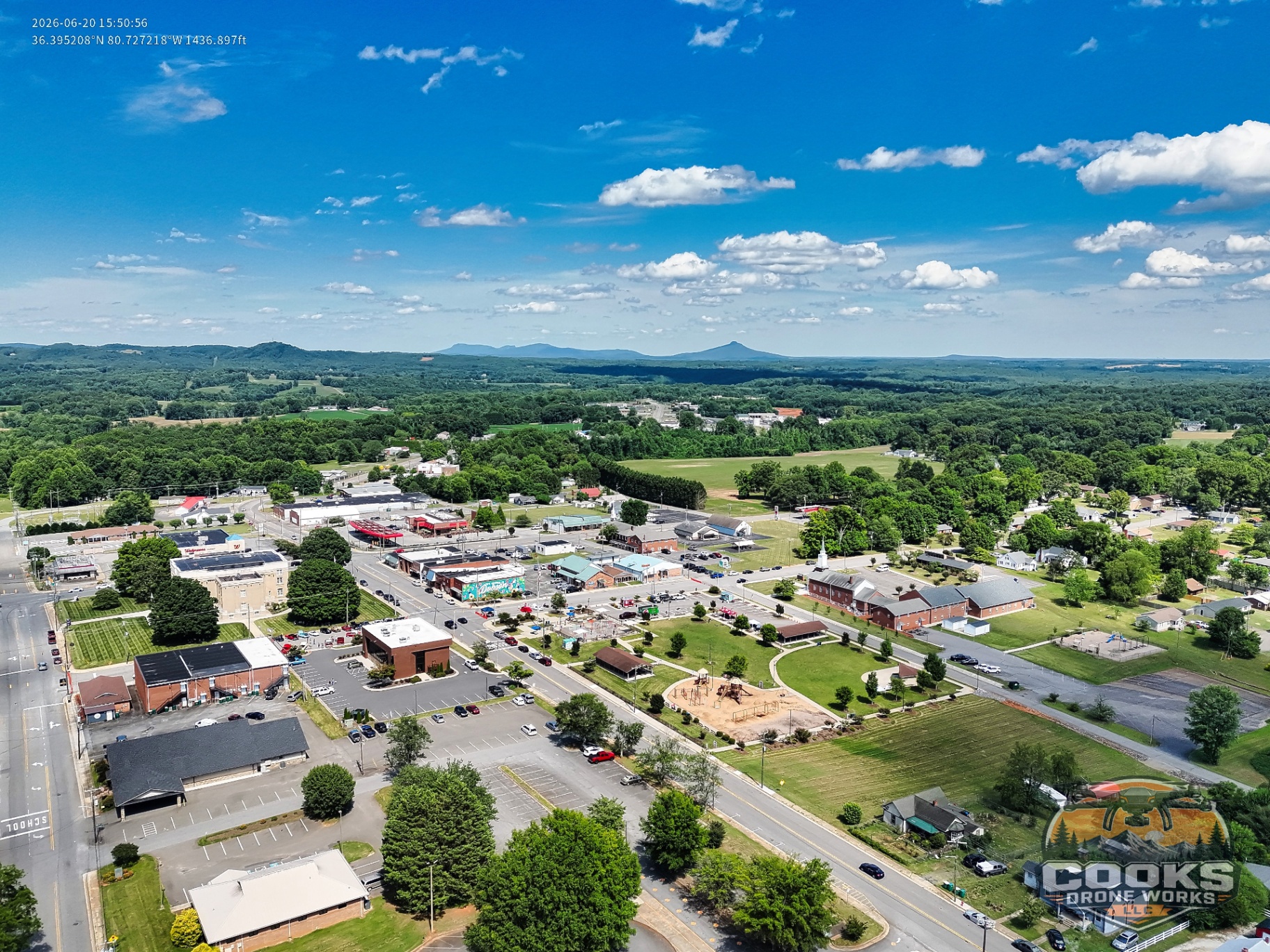
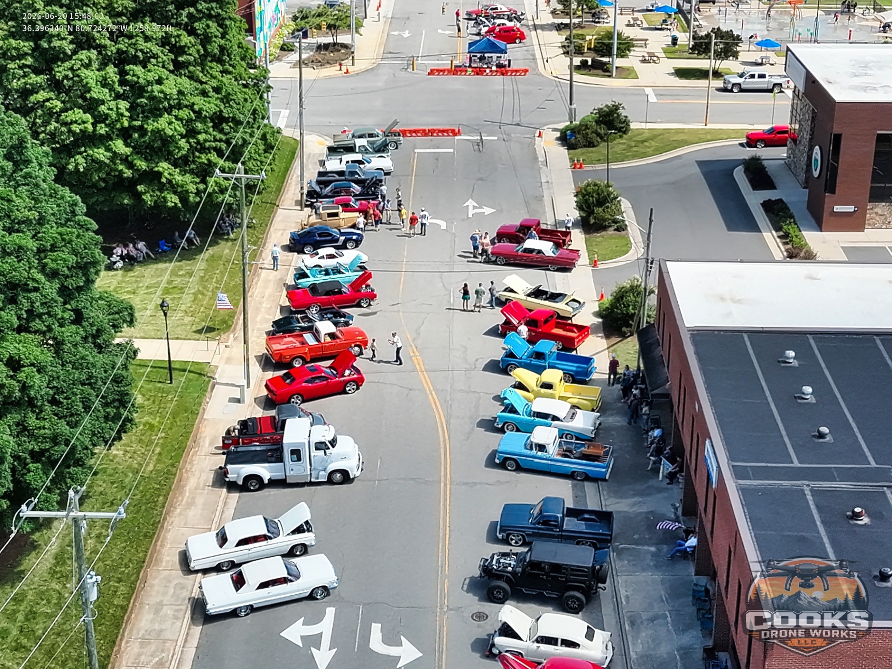
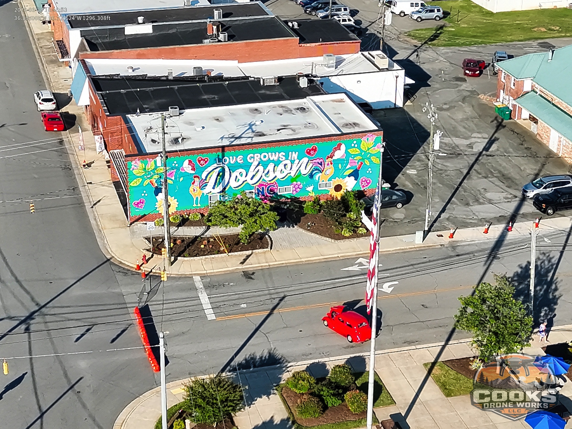
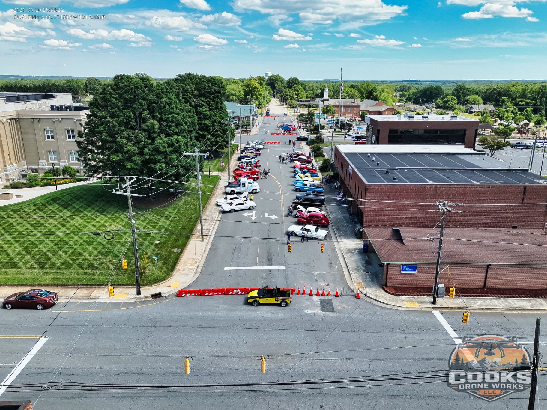
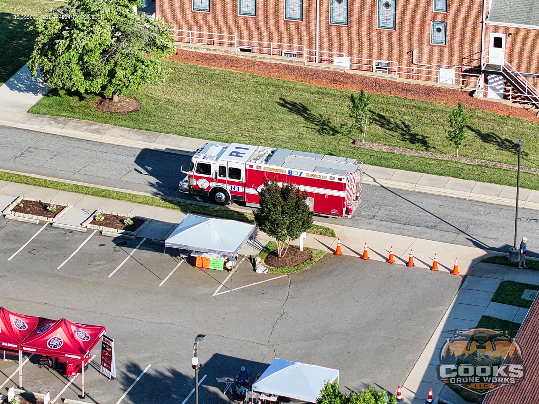
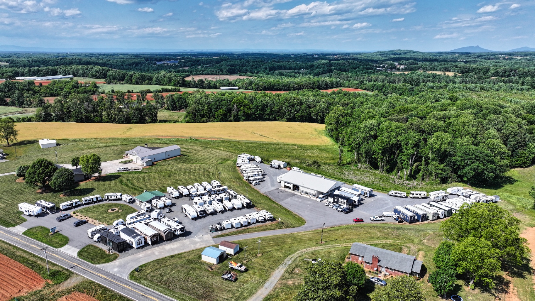
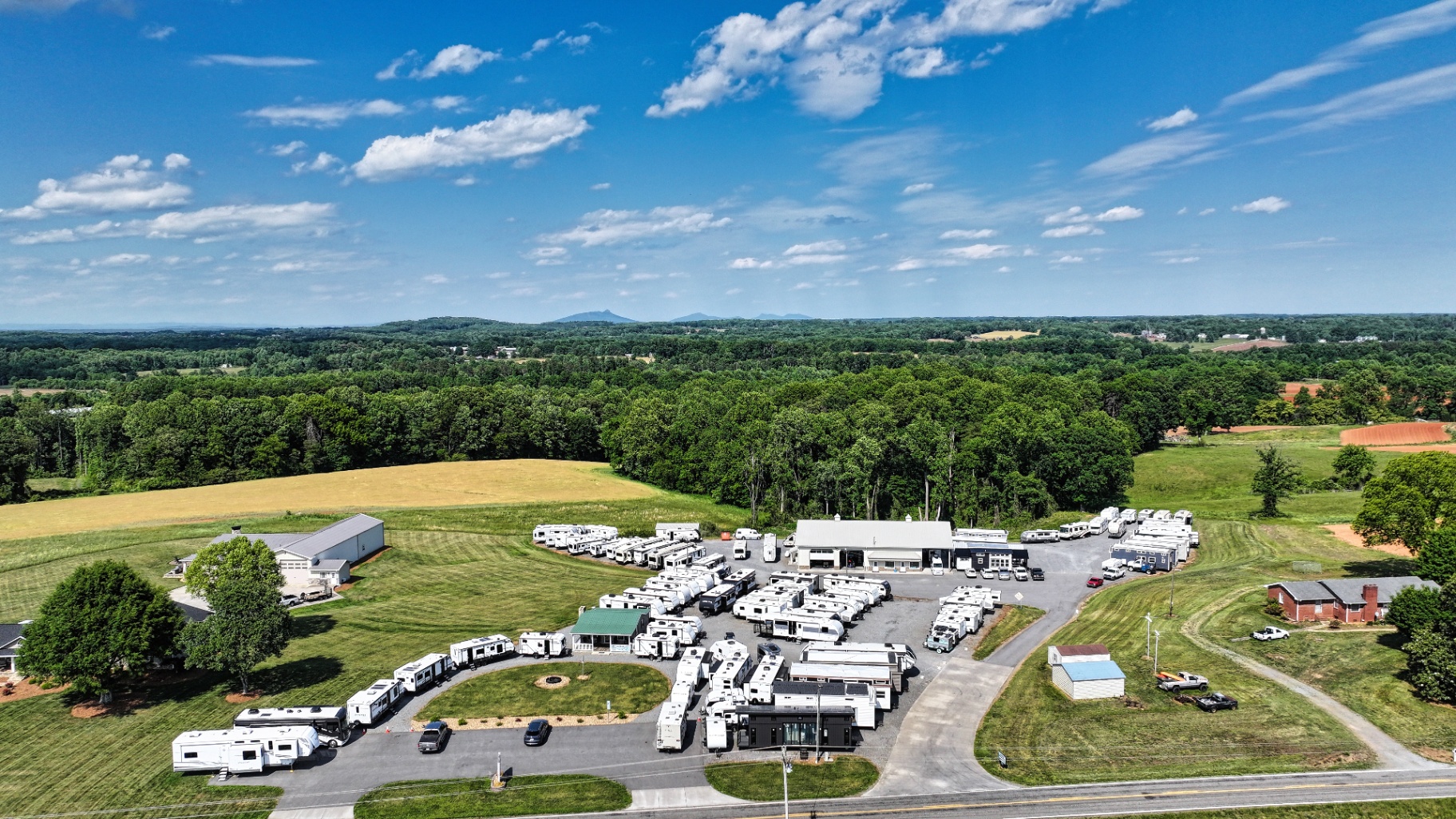
Aerial Photography & Video
Golf Courses
Course flyovers, hole-by-hole coverage, marketing reels and signature golden-hour stills.
Real Estate
MLS-ready aerials and walkthroughs that move listings faster. Same-day turnaround available.
Farms
Crop visualization, livestock counts and beautiful brand imagery.
Homesteads
Capture the full footprint — the house, the land, the views. Heirloom-quality.
Business
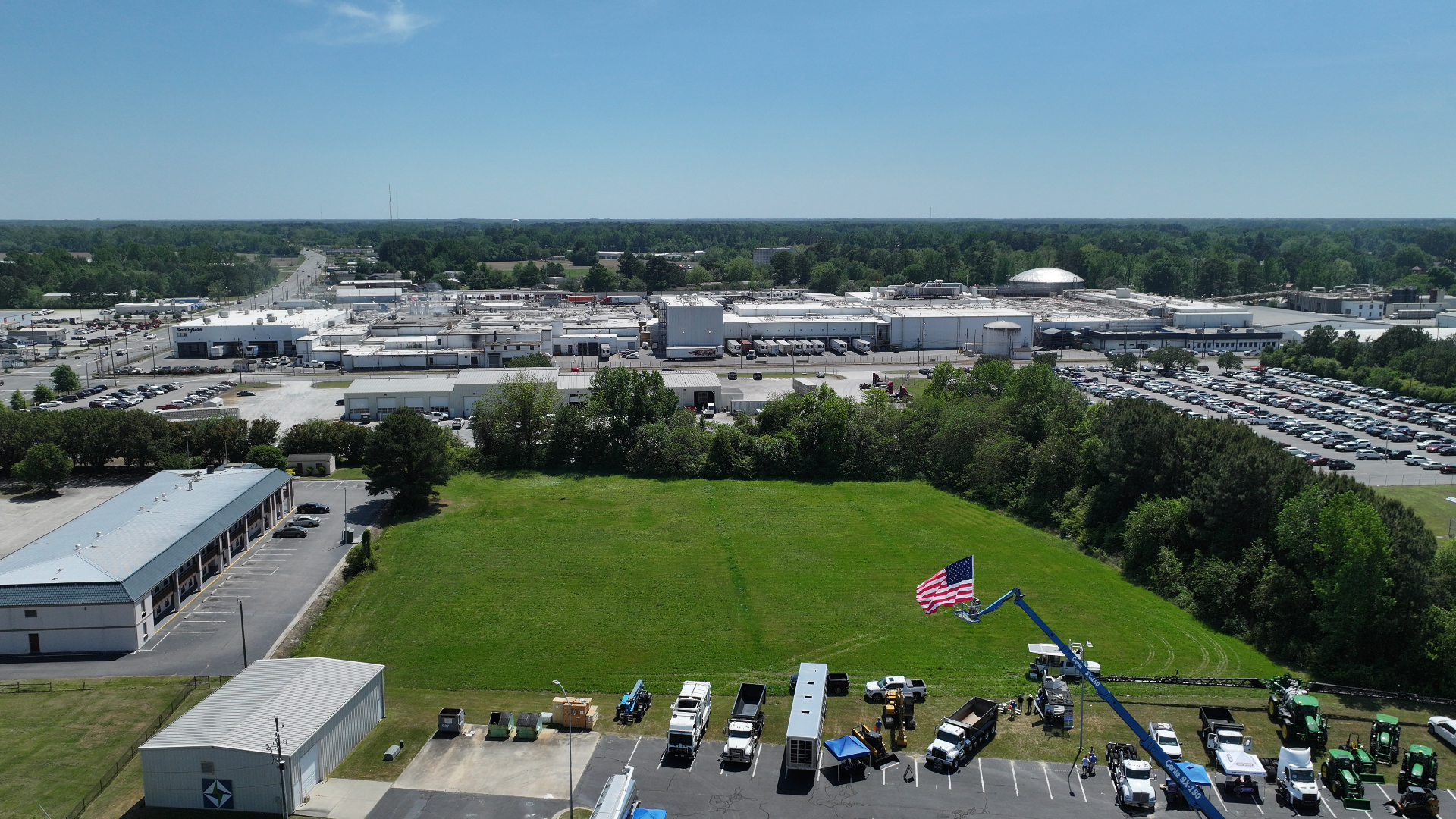
Commercial property, construction progress, marketing video, and brand storytelling.
And More
Events, weddings, automotive, special requests — if it's worth seeing from above, we'll fly it.
From the sky.
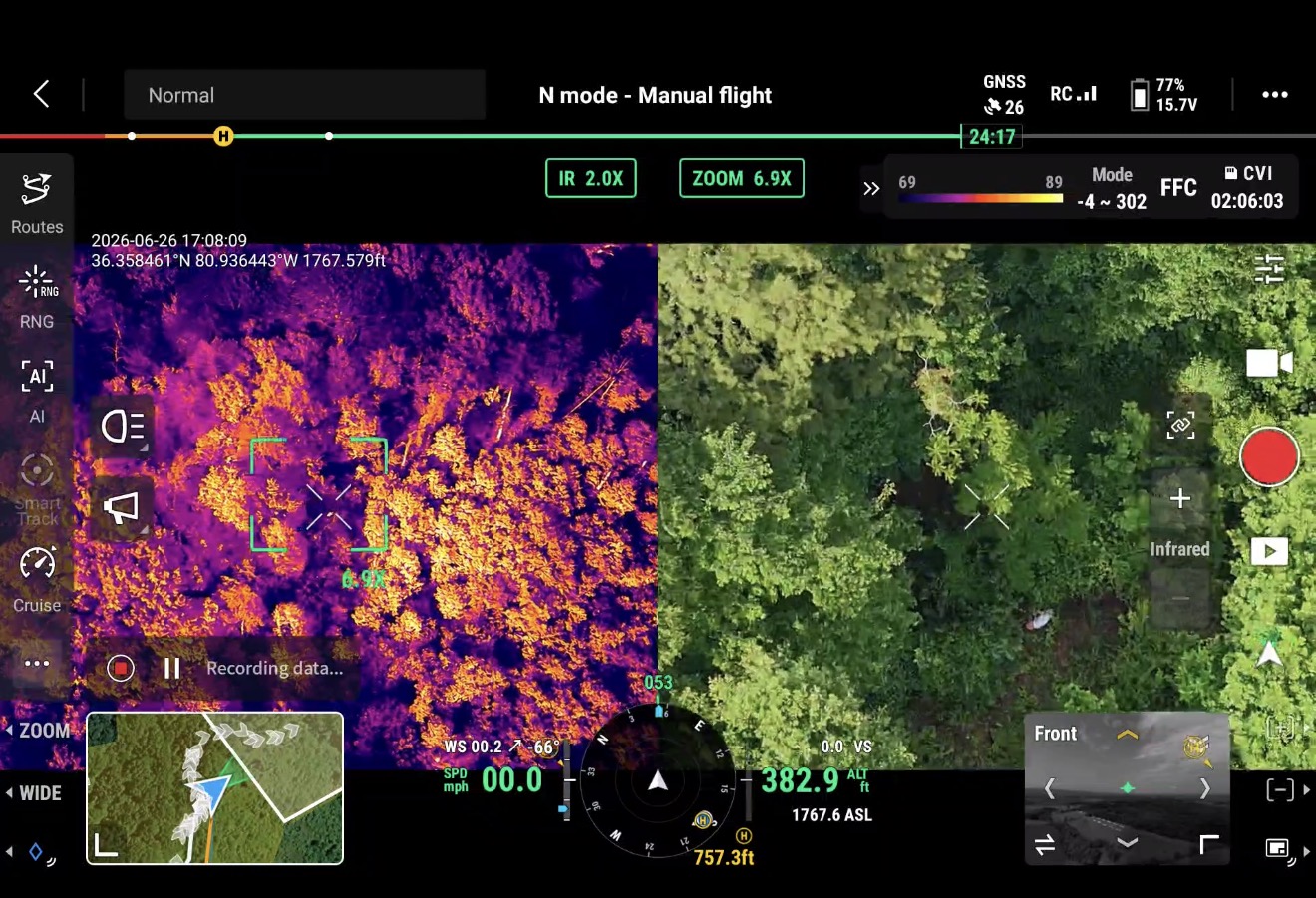
Thermal Drone Recovery
Deer Recovery
Wounded deer found fast using FLIR thermal imaging. Better than tracking dogs in dense brush.
Pet Recovery
Lost dogs and cats picked up clearly on thermal — especially effective at dawn, dusk, and overnight.
Livestock Recovery
Missing cattle, goats, and horses located from the air — even across large acreage and rough terrain at night.
Missing Person Search
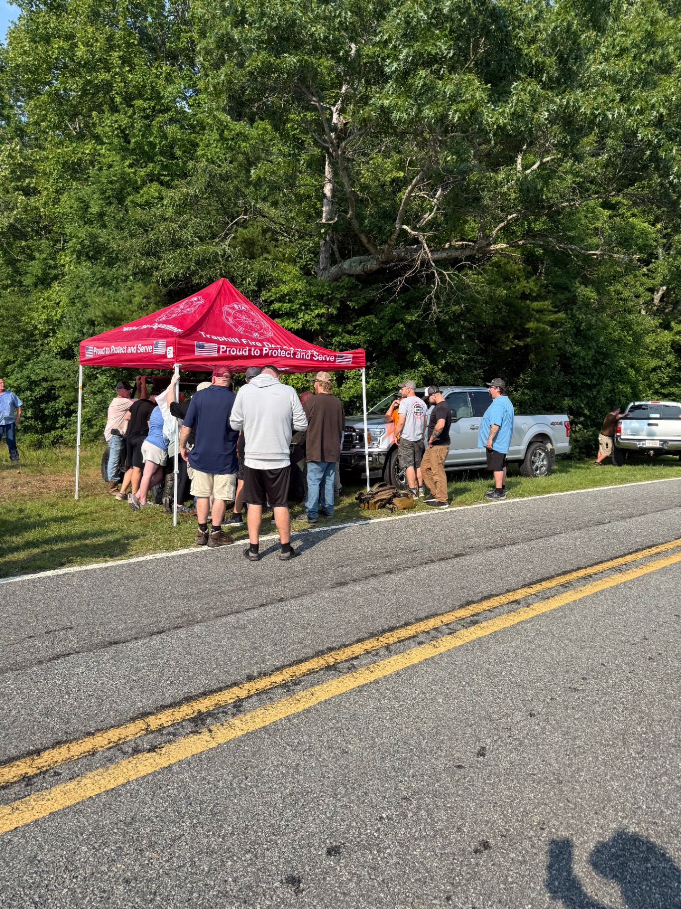
Assisting families and search teams with rapid thermal sweeps over woods, fields, and rough terrain.
Through the dark.
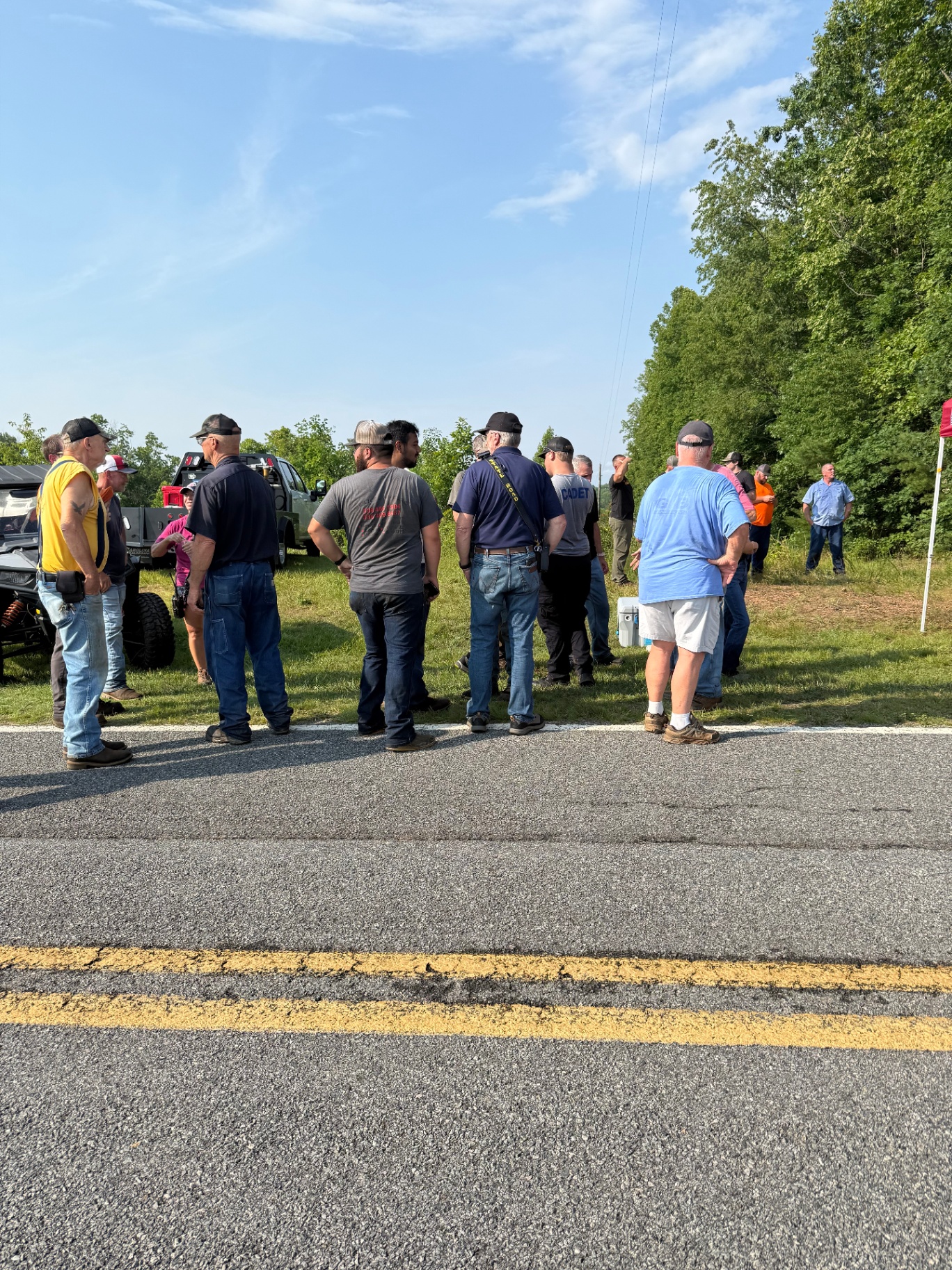
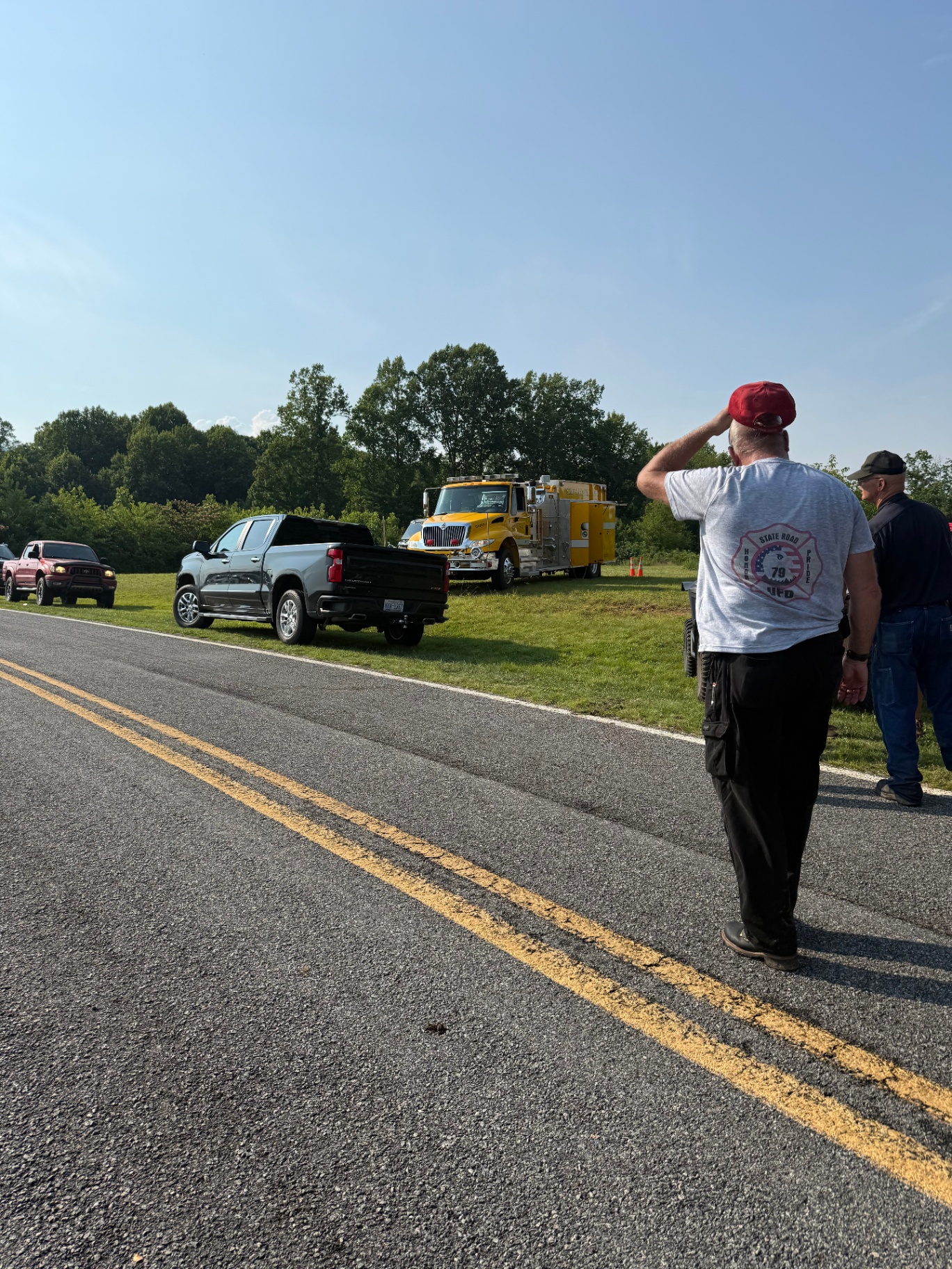
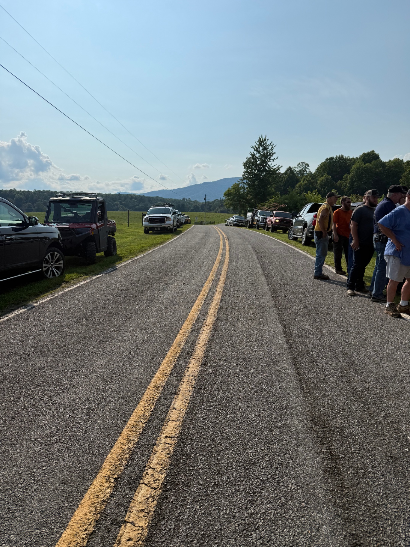
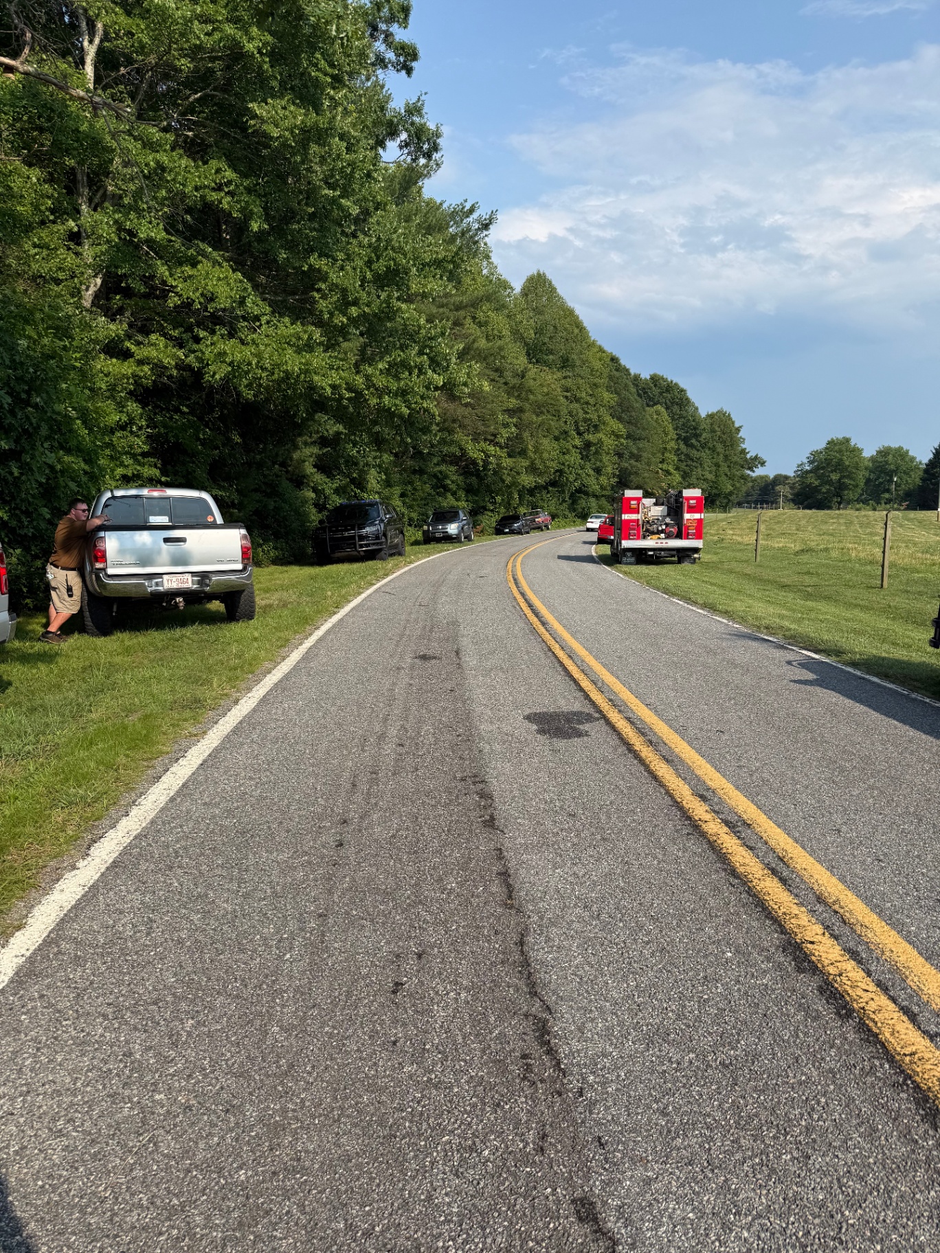
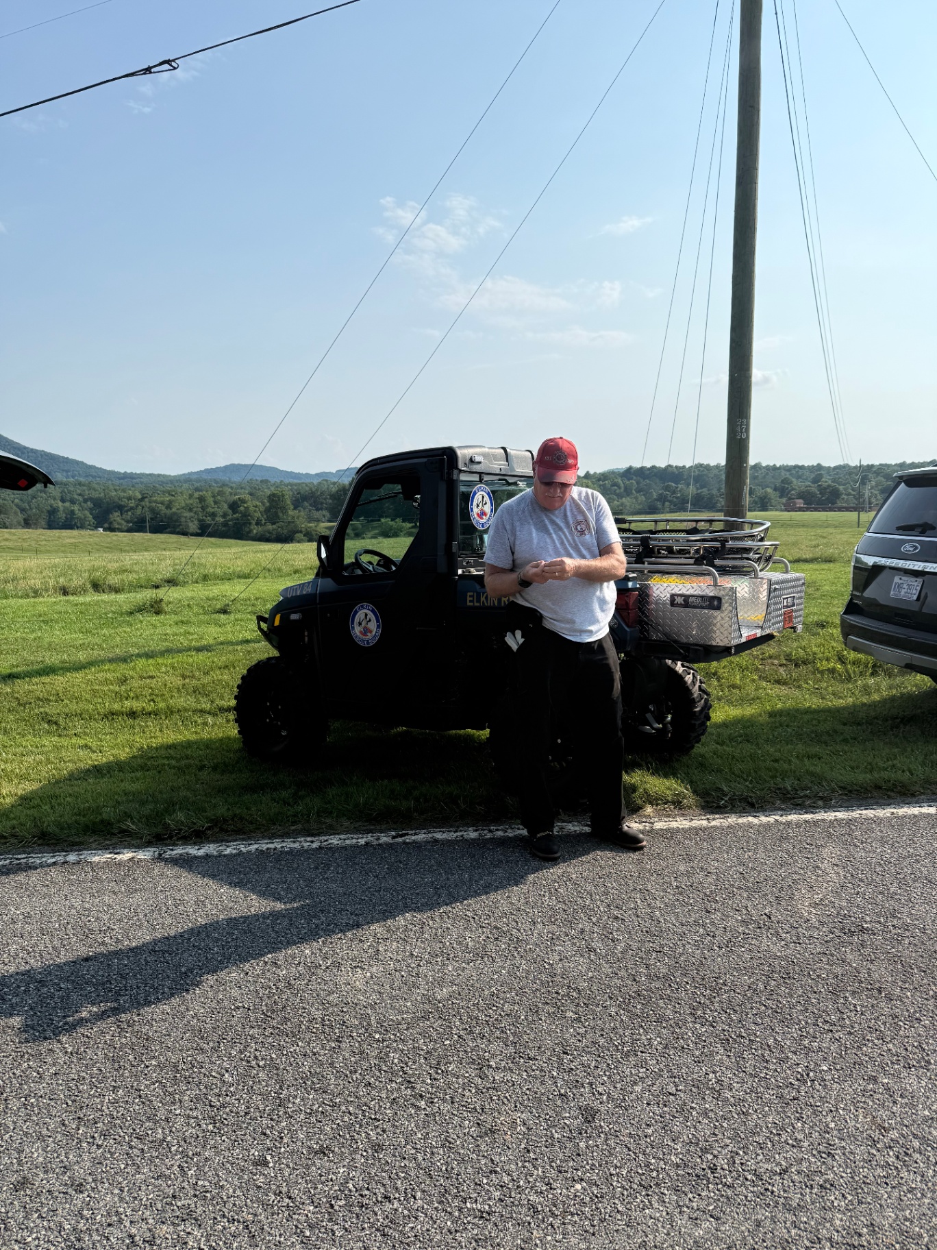
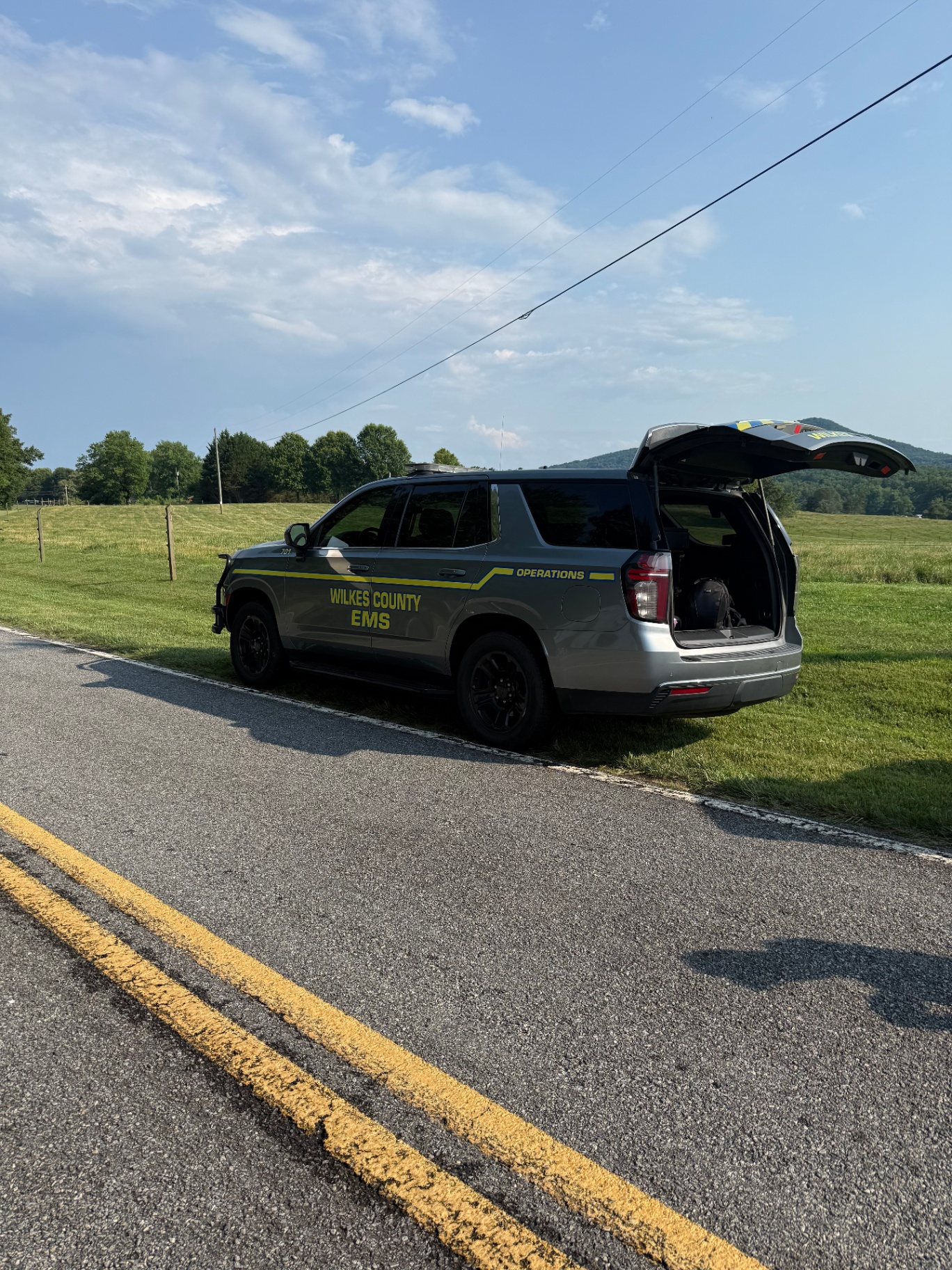
Based in Dobson.
Wherever you need us.
Operating out of Dobson, NC — serving the Yadkin Valley, Triad, and beyond. Free travel within 20 miles; an additional travel fee applies past that.
- Dobson
- Mount Airy
- Elkin
- Pilot Mountain
- King
- Yadkinville
- Jonesville
- Boonville
- Pinnacle
- Westfield
- Ararat
- Walnut Cove
- Wilkesboro
- North Wilkesboro
Plus most of Surry, Yadkin, Stokes, and Wilkes counties.
- Winston-Salem
- Greensboro
- Hickory
- Statesville
- Boone
- Galax, VA
- Mount Pleasant, VA
- Charlotte metro (on request)
Traveling beyond 20 miles? Reach out for a custom quote — happy to go wherever the job takes us.
Request a QuoteReady to fly?
Call Robbie for a quote — usually answers same day.