The view
from above.
Aerial photography & cinematic video for golf courses, real estate, farms, homesteads, and businesses. Plus thermal drone missions for deer, pet, and missing person recovery.
Multiple missions.
One operator.
Licensed & insured Part 107 pilot with hundreds of flight hours and missions. Whether you need a hero shot of your property or boots-in-the-air help finding what's lost, we're ready to fly.
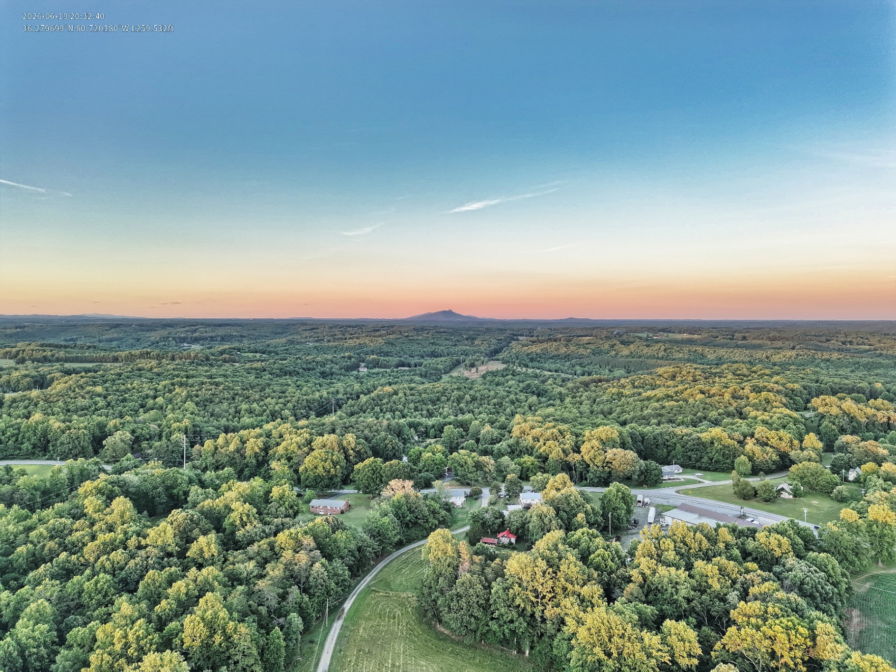
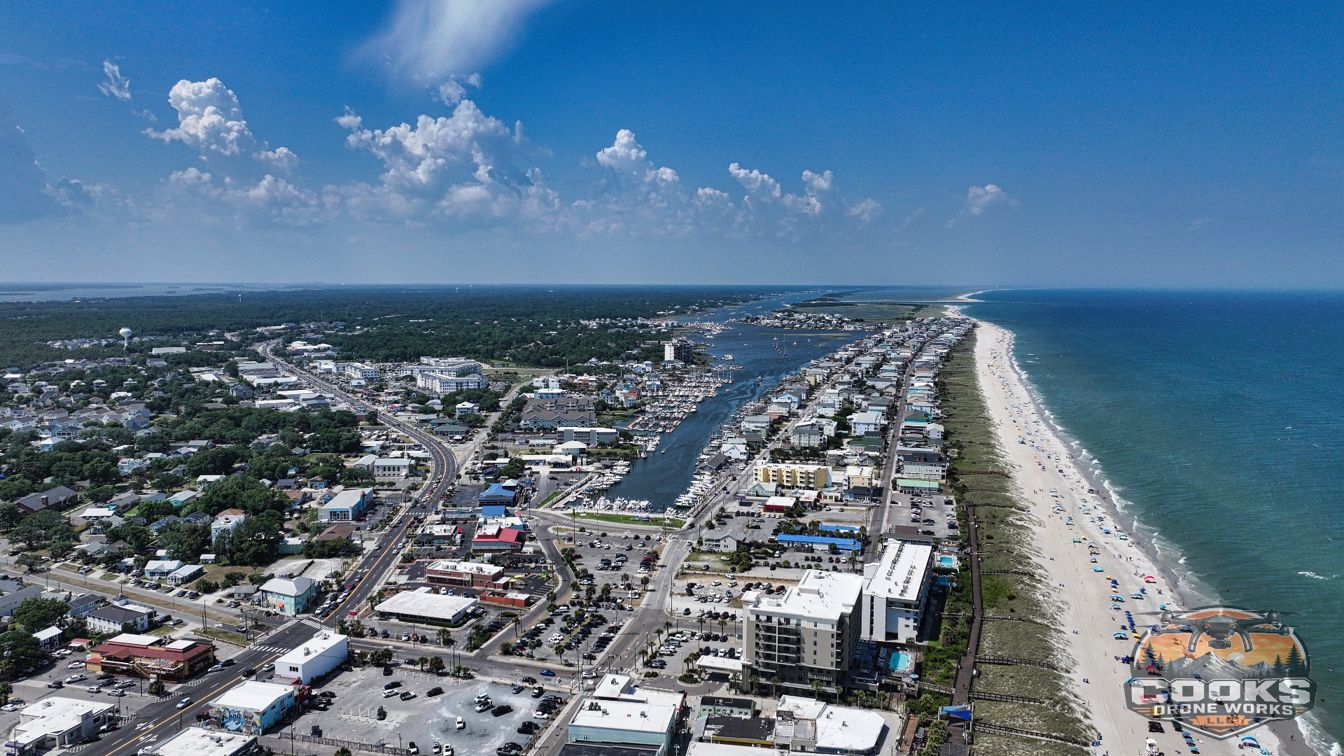
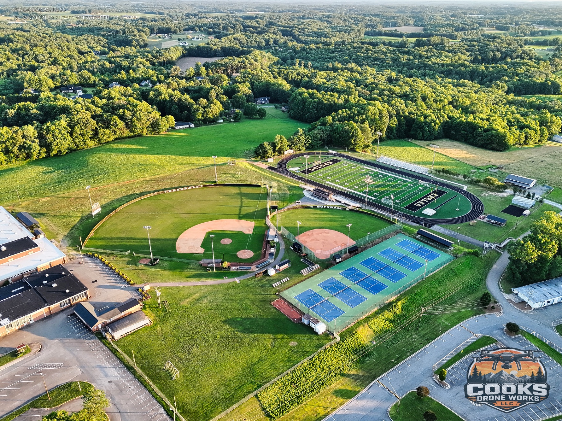
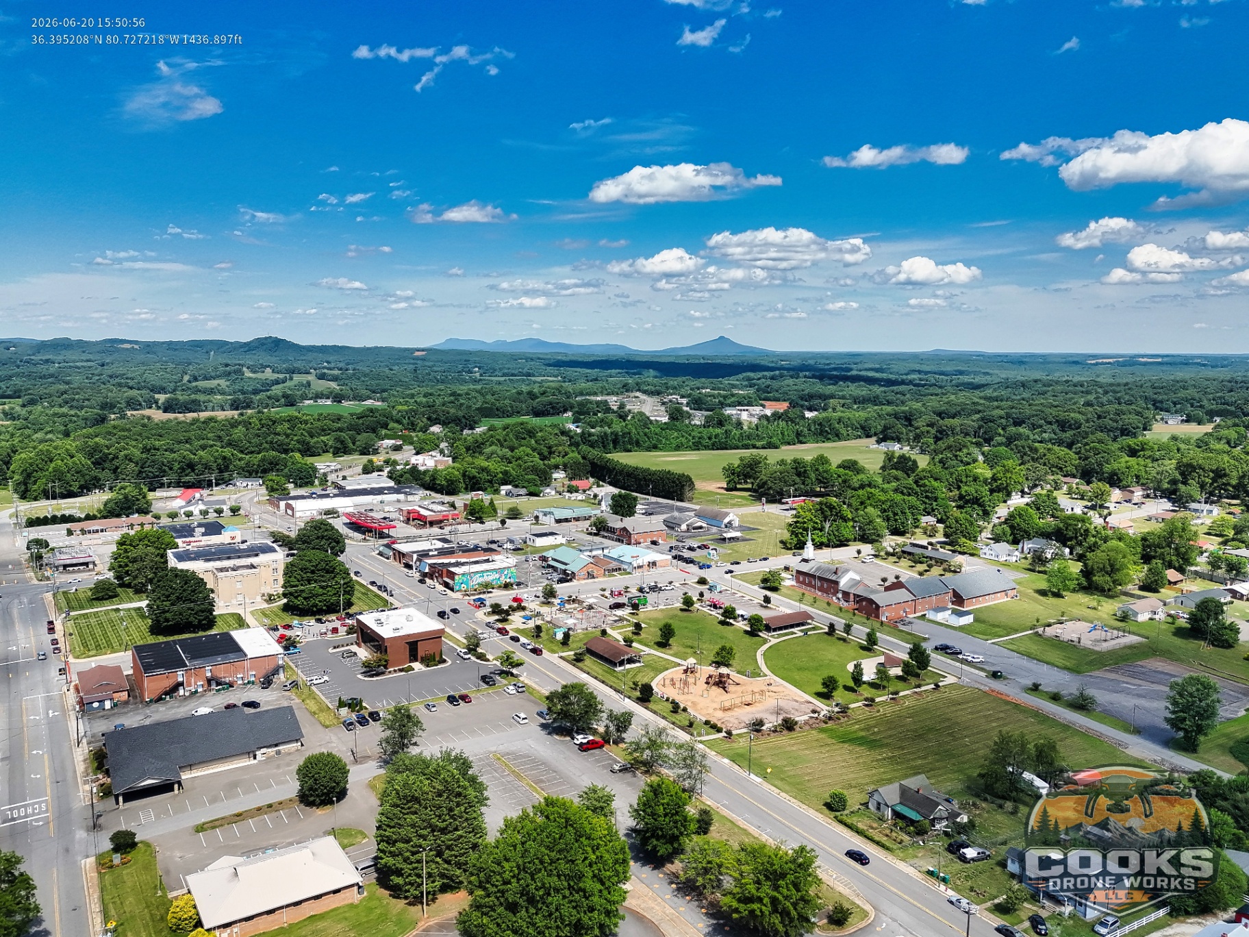
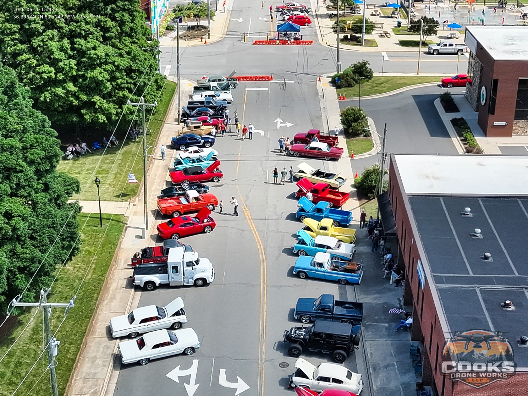
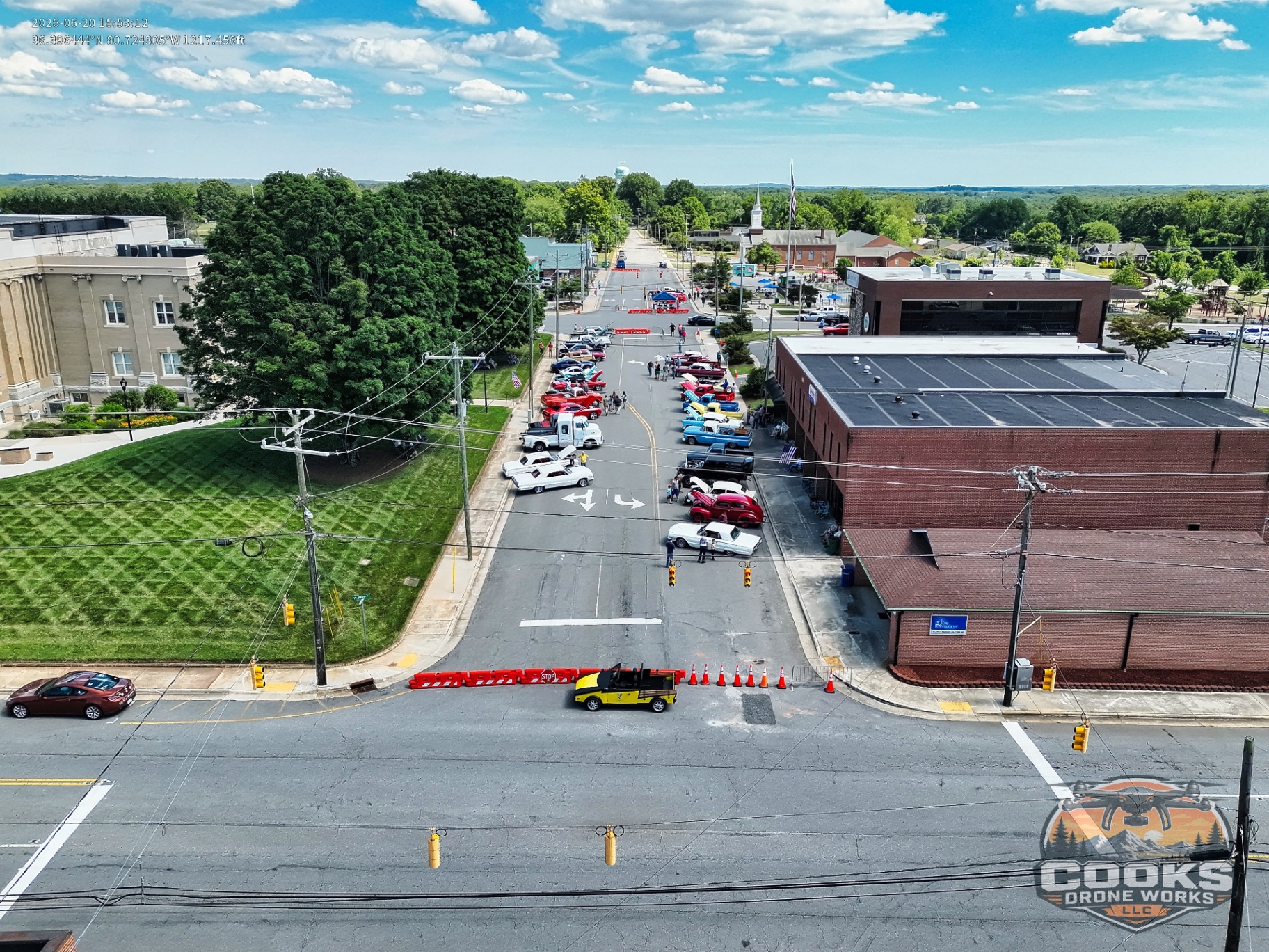
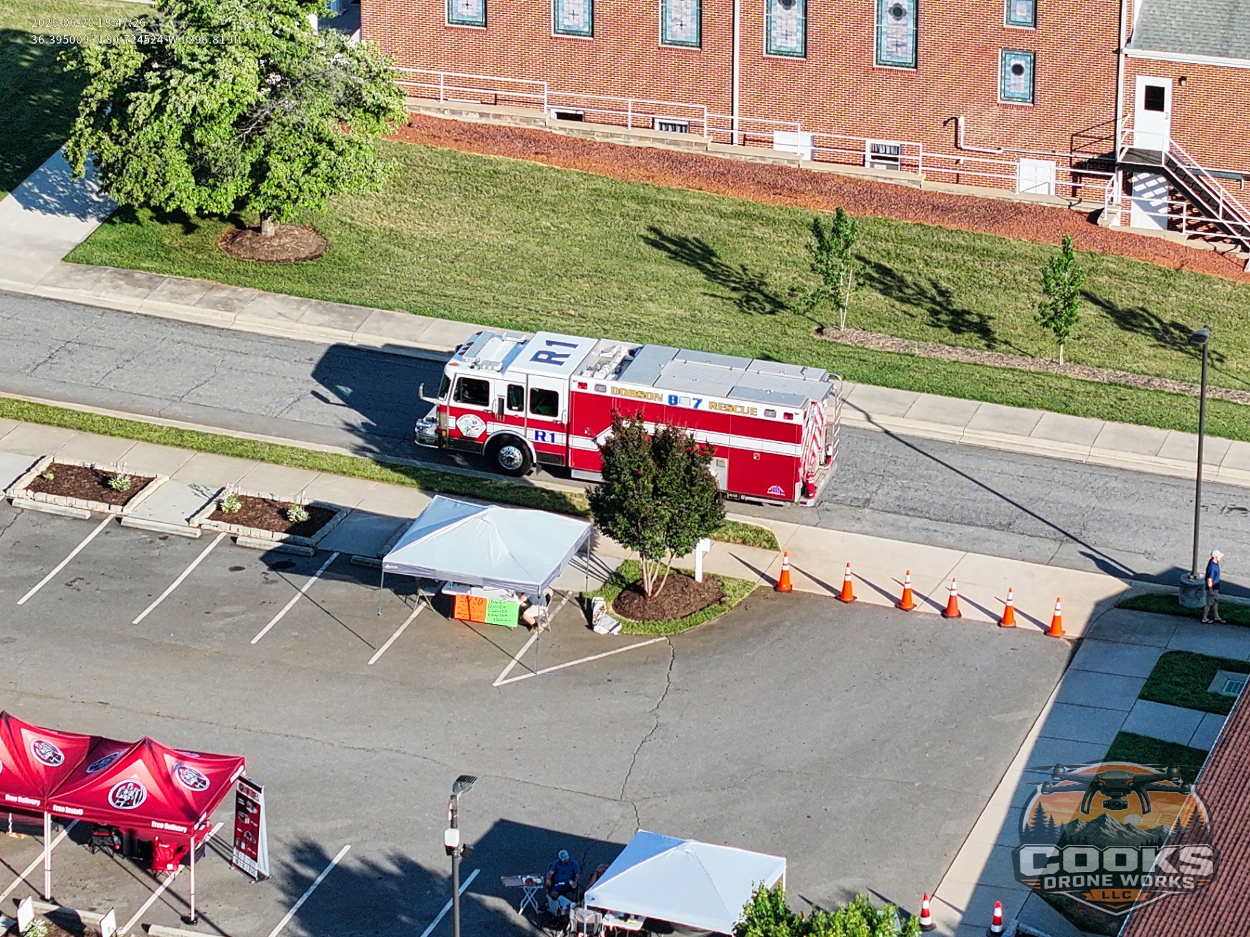
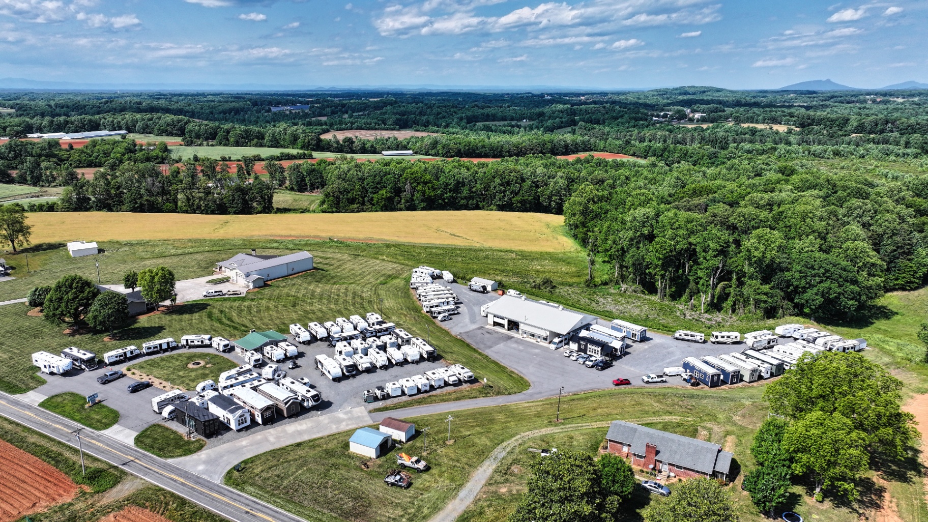
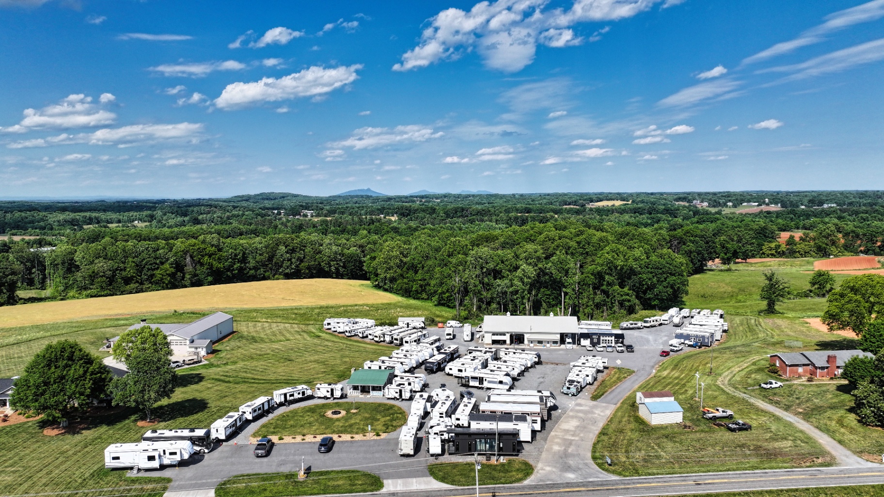
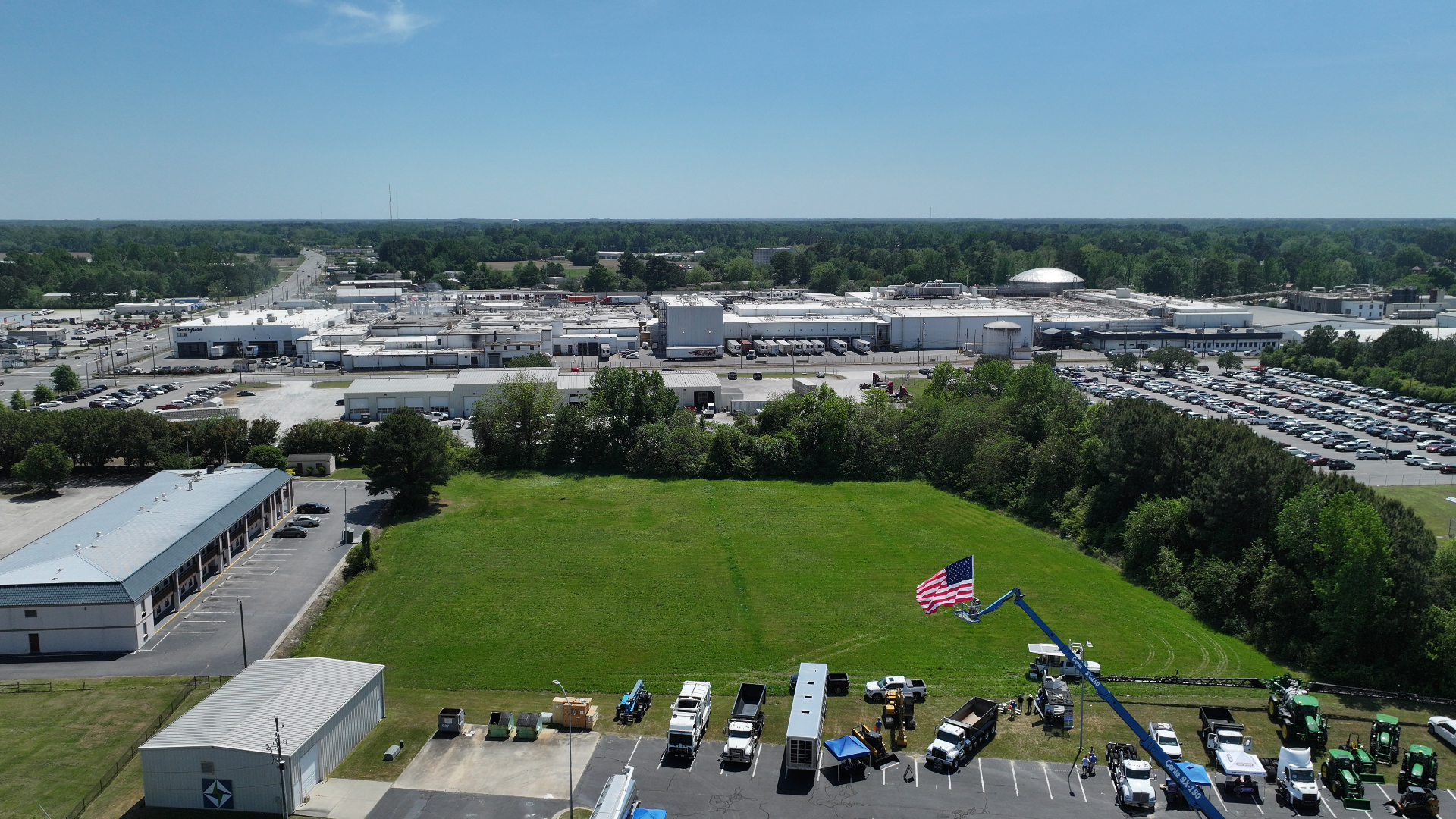
Aerial Photo & Video
Cinematic aerial coverage of golf courses, real estate listings, farms, homesteads, business properties, events and more. Delivered ready-to-publish.
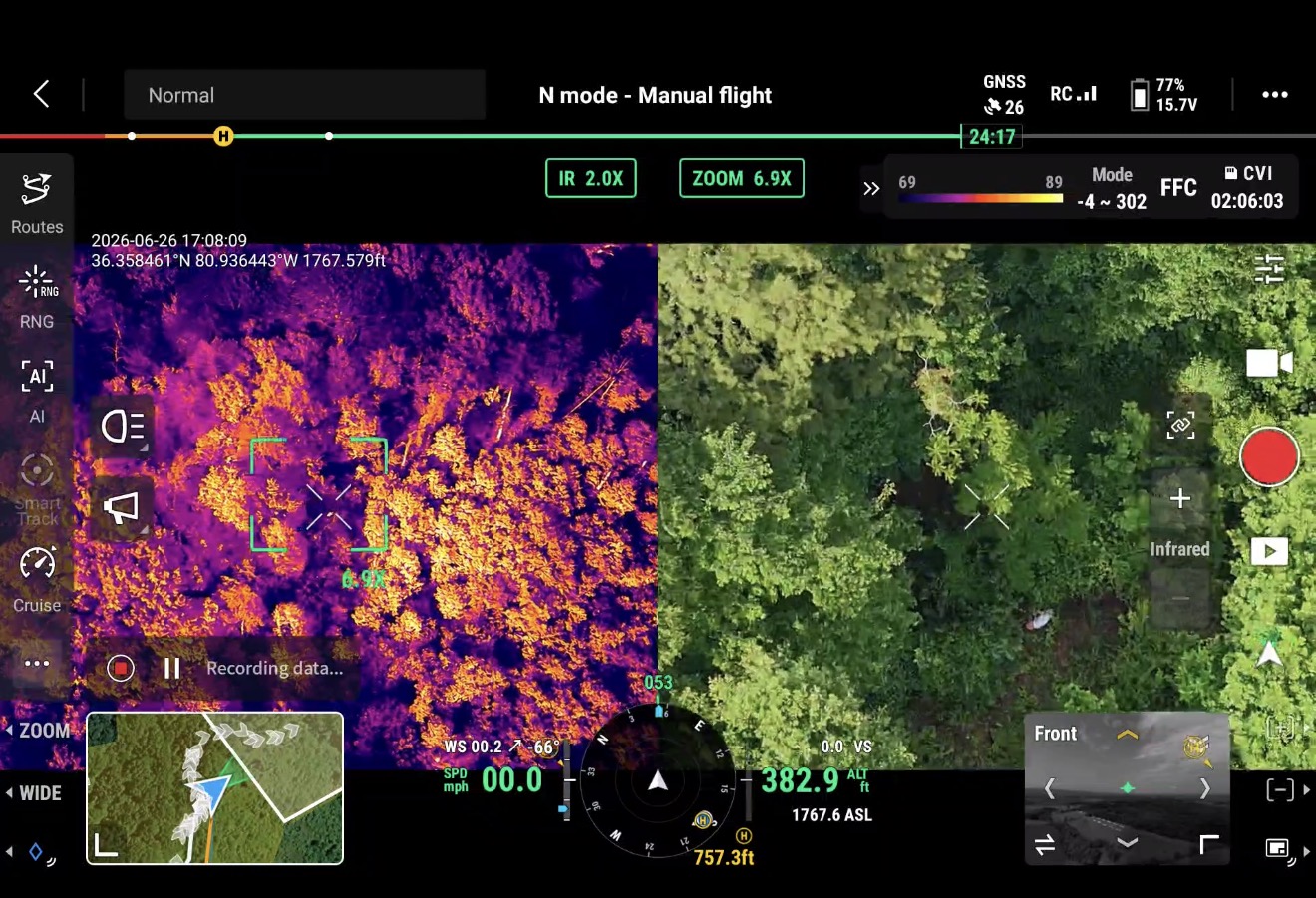
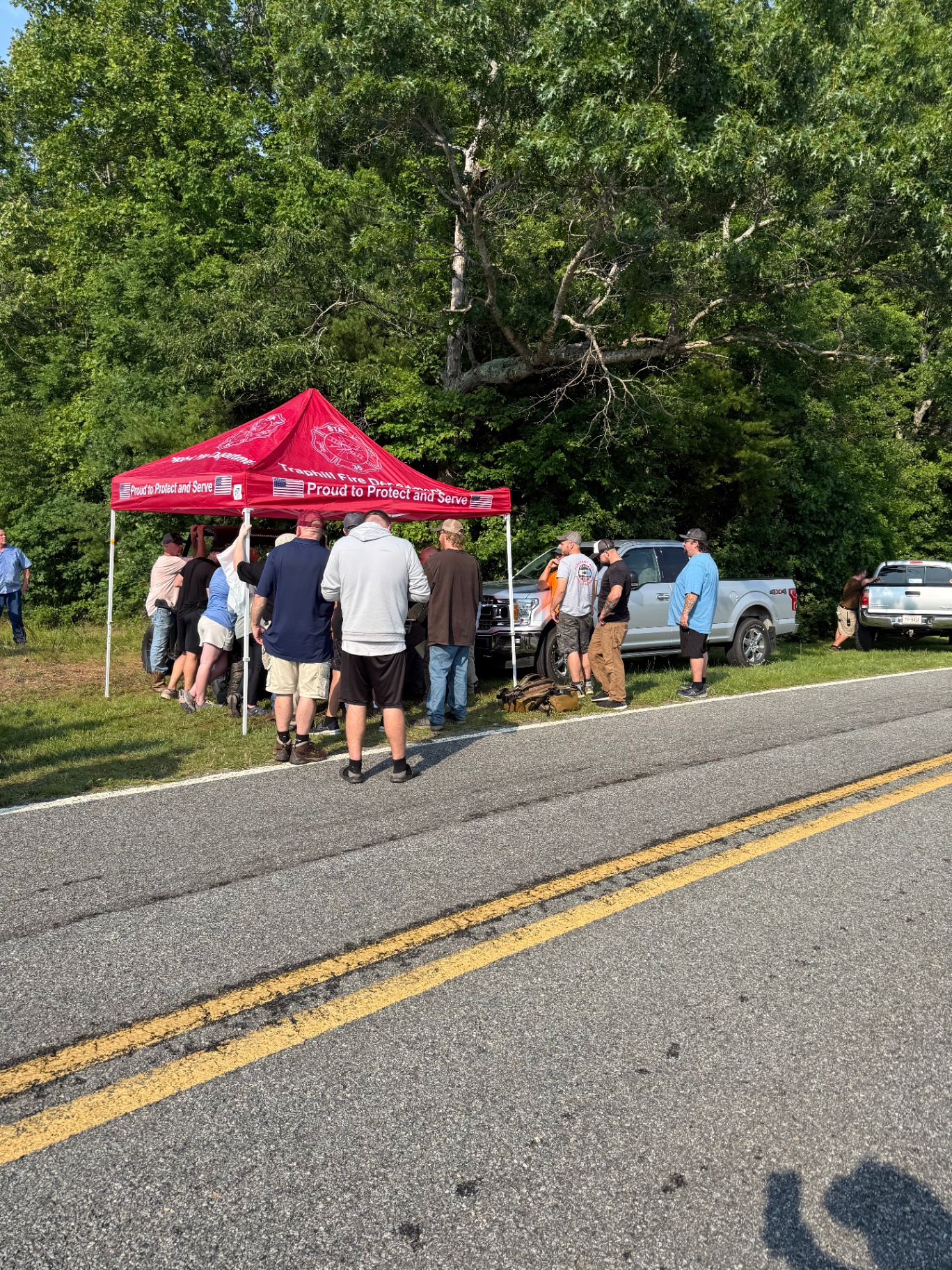
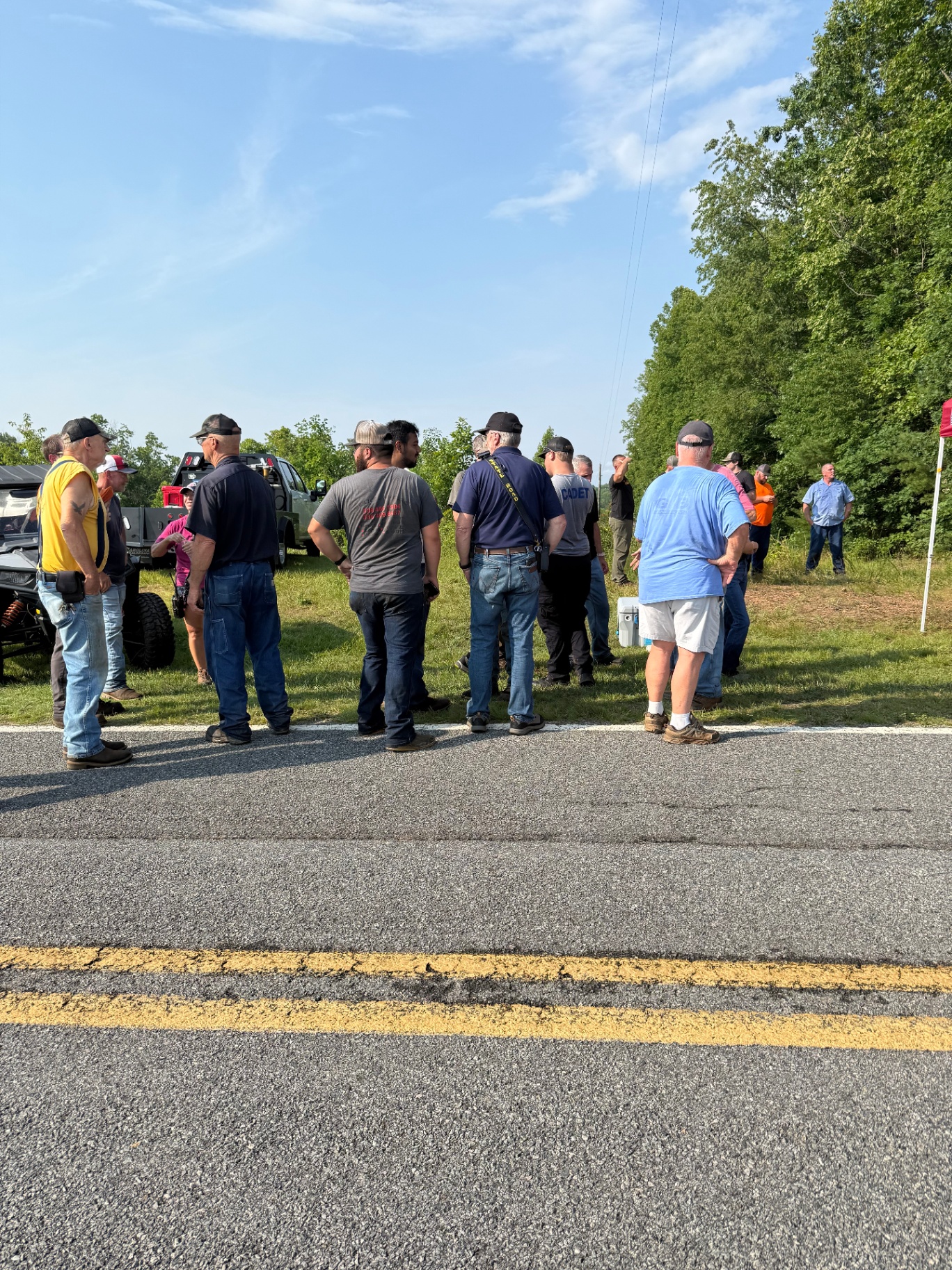
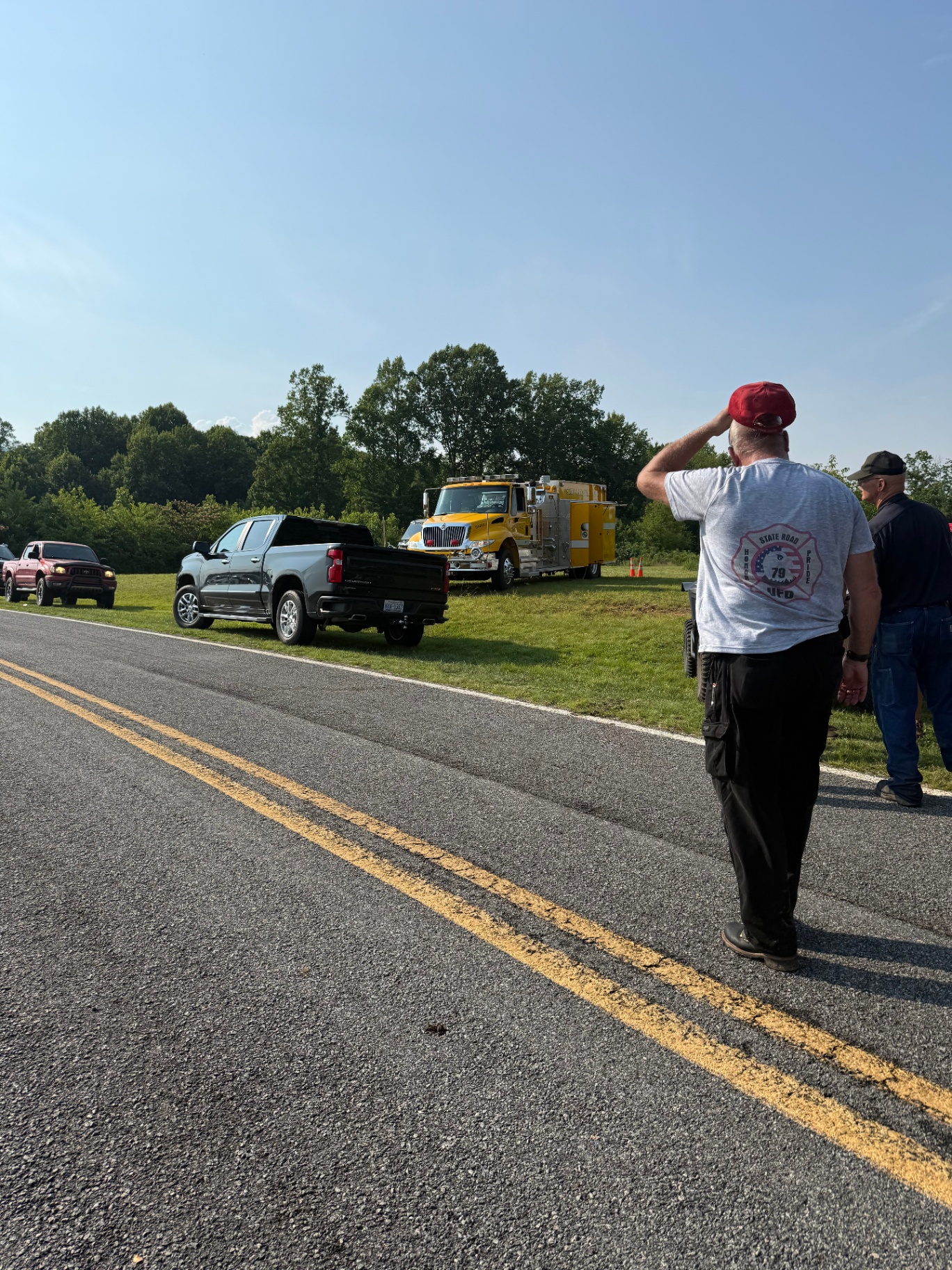
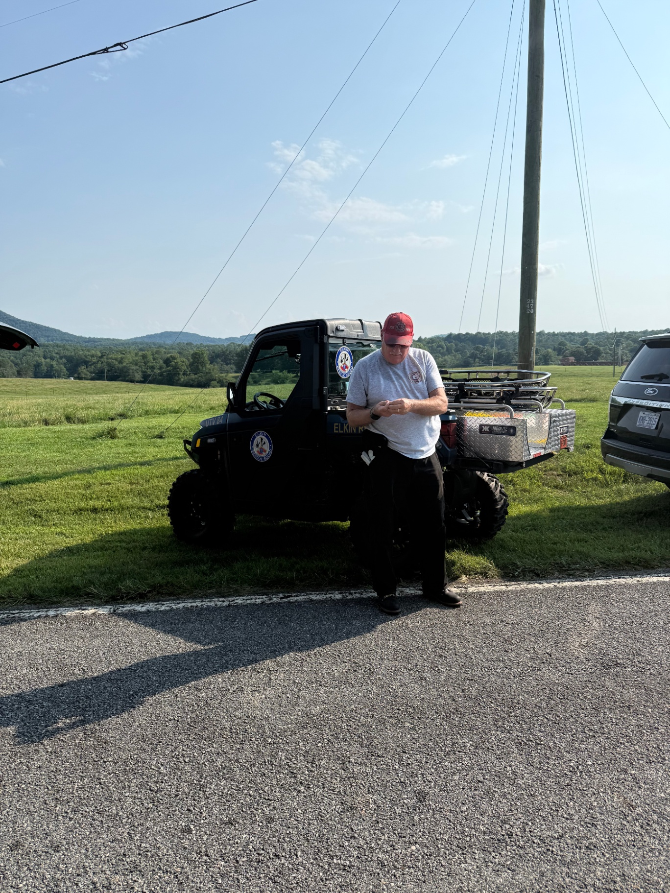
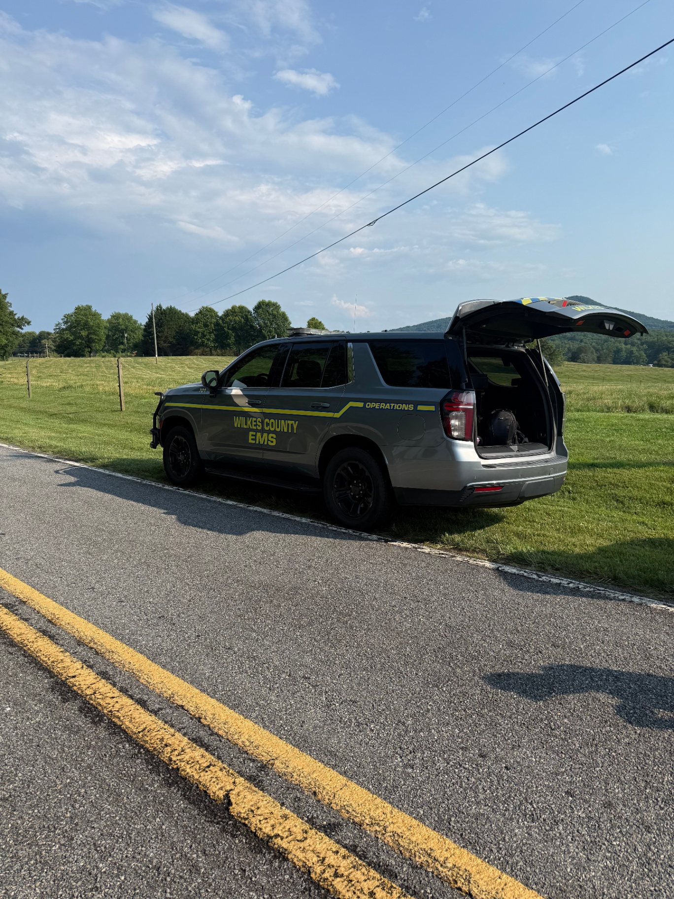
Thermal Drone Recovery
Wounded deer, lost pets, missing livestock, missing person searches — thermal imaging finds heat signatures that the naked eye and flashlights miss. Day or night.
Through the dark.
From the sky.
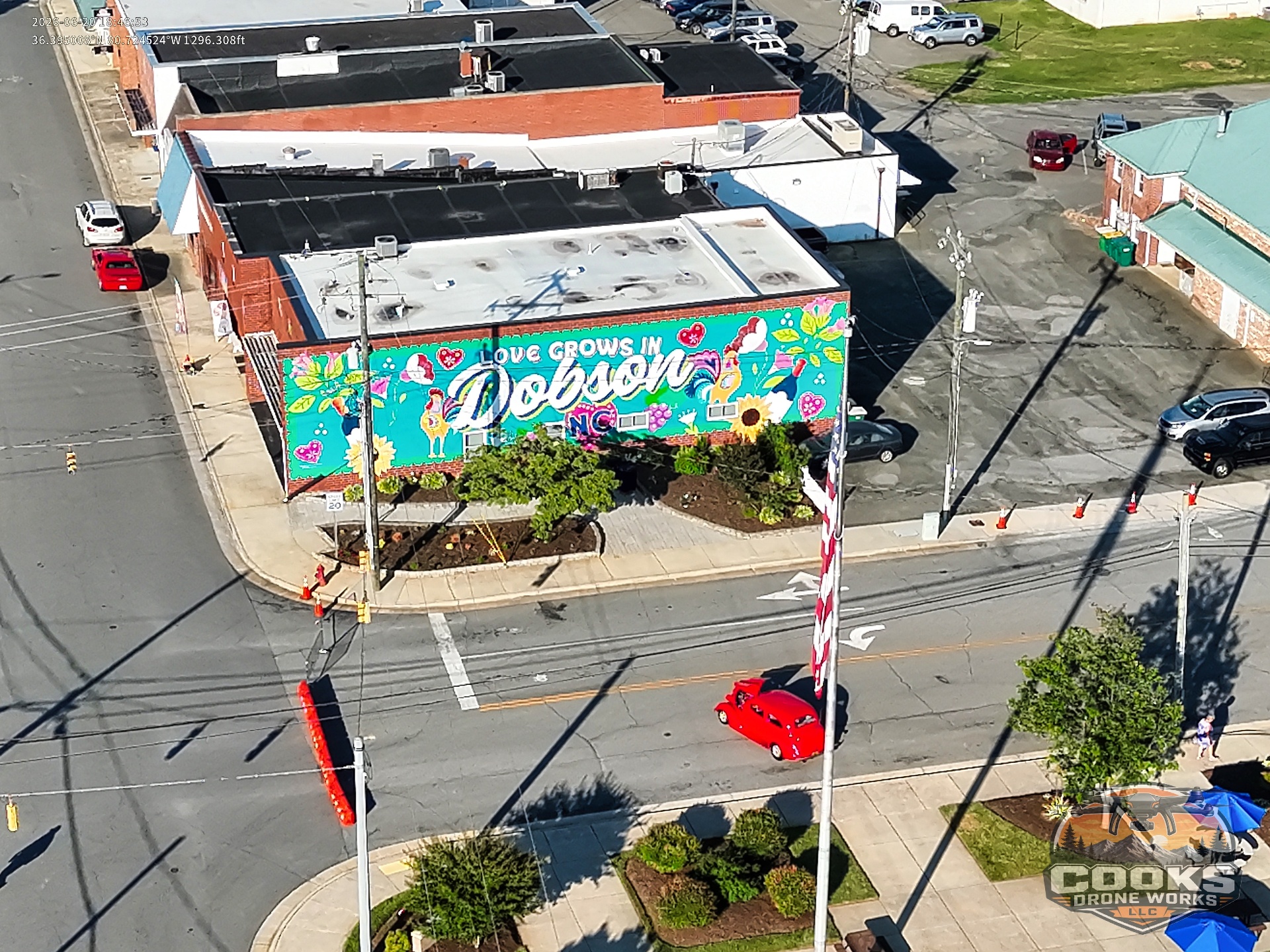
Based in Dobson.
Wherever you need us.
Operating out of Dobson, NC — serving the Yadkin Valley, Triad, and beyond. Free travel within 20 miles; an additional travel fee applies past that.
- Dobson
- Mount Airy
- Elkin
- Pilot Mountain
- King
- Yadkinville
- Jonesville
- Boonville
- Pinnacle
- Westfield
- Ararat
- Walnut Cove
- Wilkesboro
- North Wilkesboro
Plus most of Surry, Yadkin, Stokes, and Wilkes counties.
- Winston-Salem
- Greensboro
- Hickory
- Statesville
- Boone
- Galax, VA
- Mount Pleasant, VA
- Charlotte metro (on request)
Traveling beyond 20 miles? Reach out for a custom quote — happy to go wherever the job takes us.
Request a QuoteGot a property to showcase — or a recovery mission?
Call Robbie directly for a no-pressure quote. Most jobs scheduled within the week.